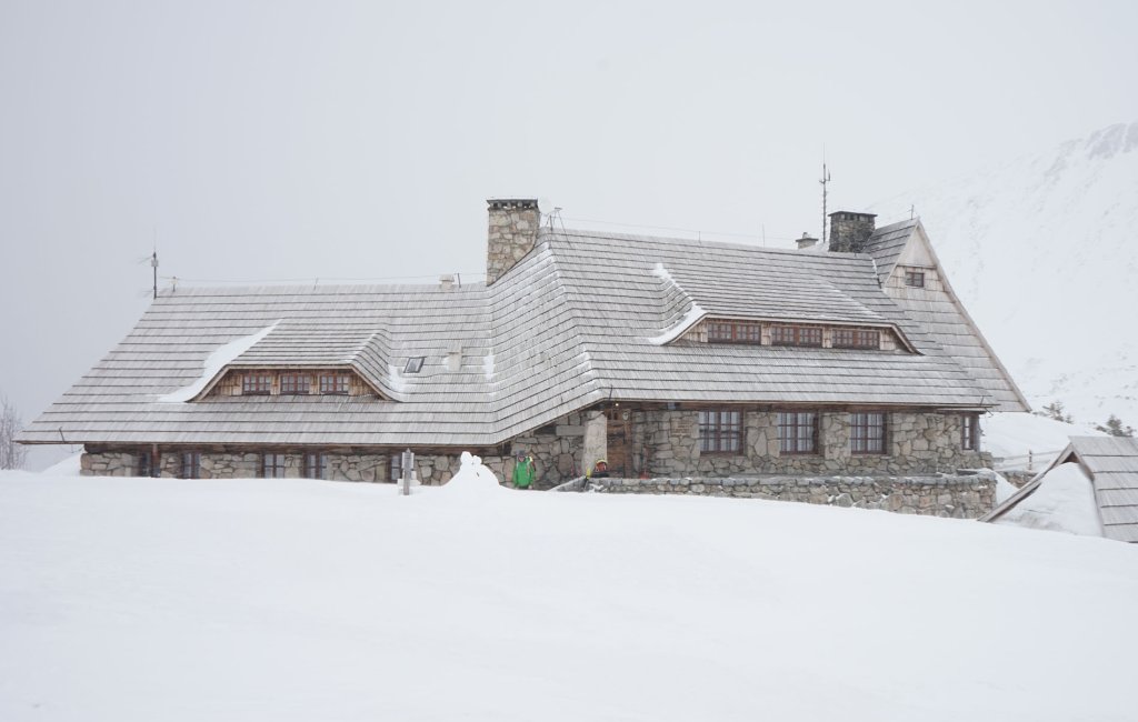
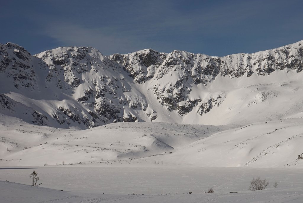
Dolinie Pieciu Stawow Polskirch
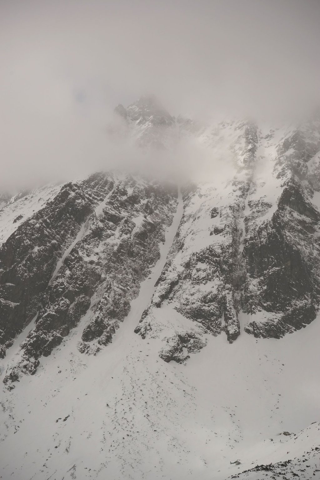
The Schronisko w Dolinie Pieciu Stawow hut is located in a magnificent high valley, the Dolinie Pieciu Stawow Polskirch. The highest peaks are Miedziane (2233 m) to the south, Kozi Wierch (2291 m) to the north and Svinica (2301 m) to the west. In the southwest, the high valley borders the main mountain ridge Liptovske Múry, which connects the High Tatras in the east with the Western Tatras. The border between Poland and Slovakia also runs along this ridge.
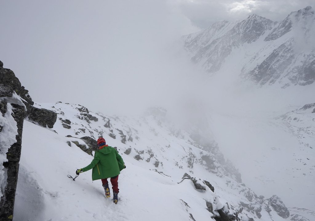
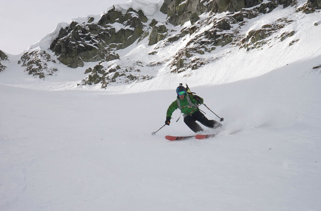
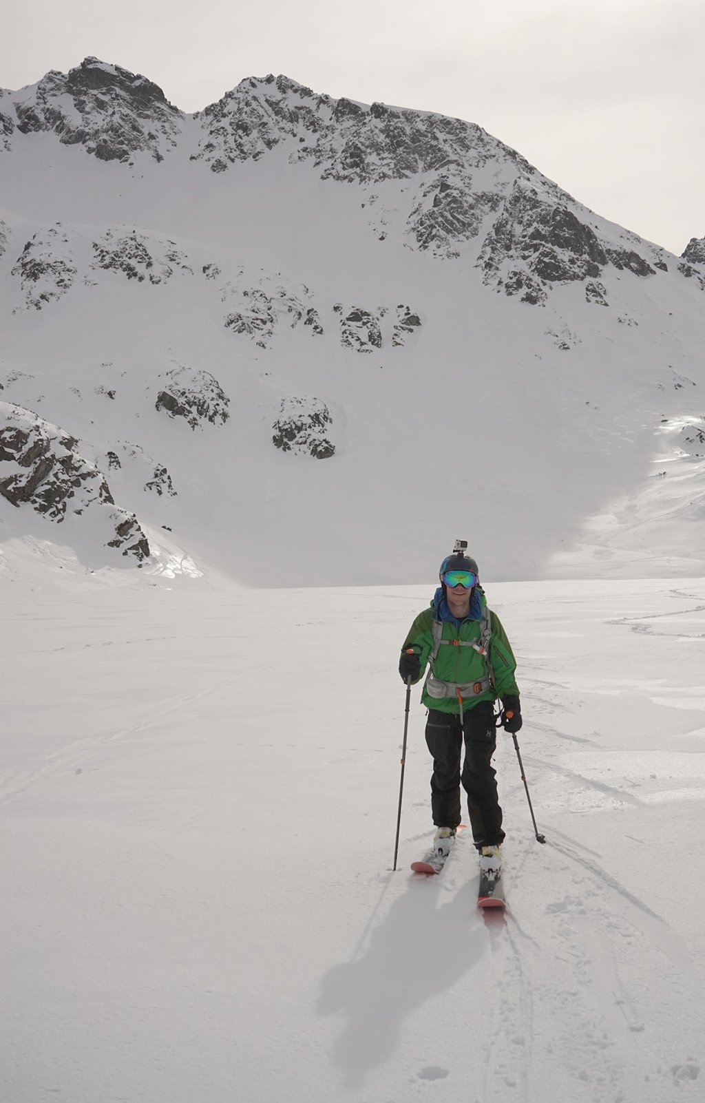
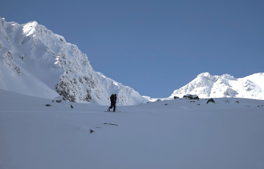
The next morning, we wake up so early that the moon is still shining in the sky. No clouds - a perfect day lies ahead of us, with numerous tour options. We set off in the direction of Liptovske Múry. The slopes there have been in the shade for a long time. We were hoping for powder snow.
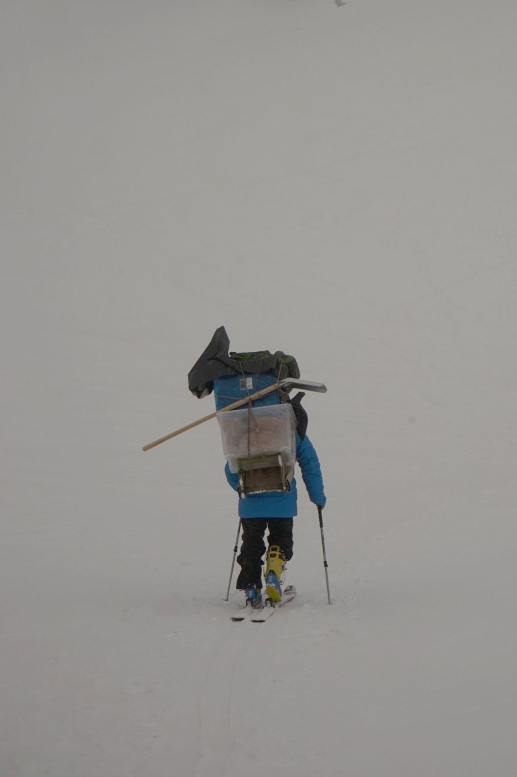
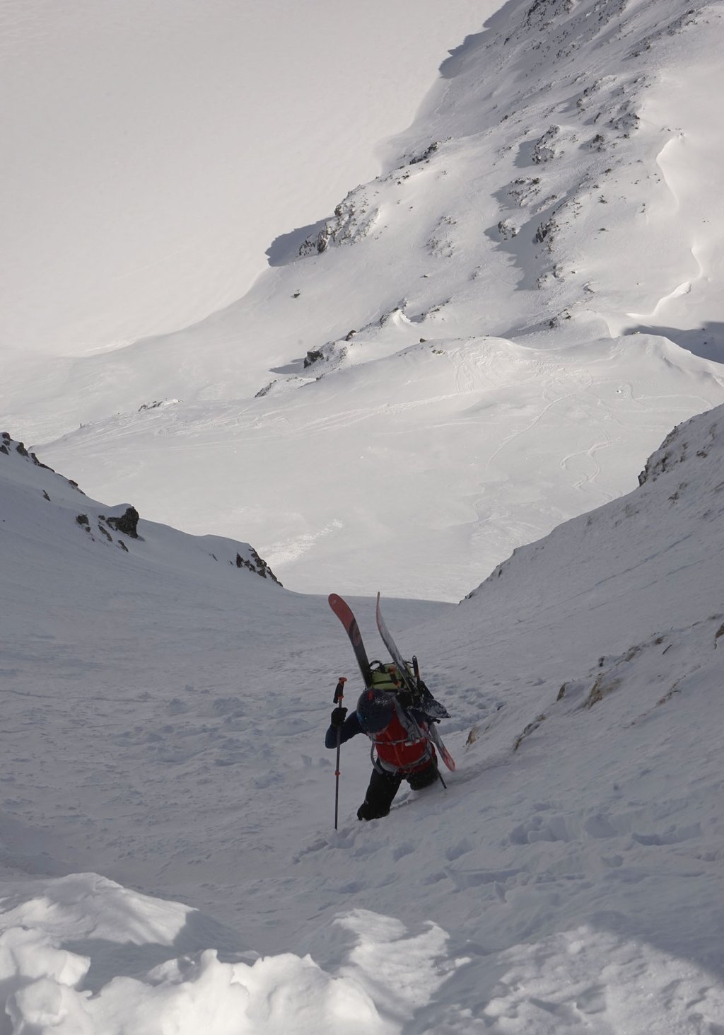
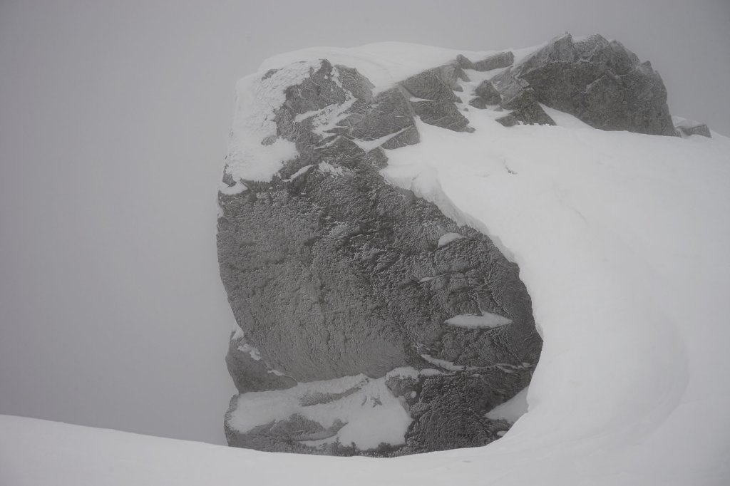
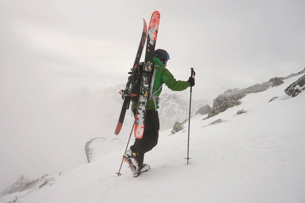
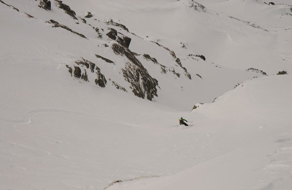
As we left the first steep section behind us, we discovered a gully leading to a saddle, the 2071 m high Wyżnia Liptowska Ławka. You have to put your skis on your back for the ascent. The saddle can be heavily overgrown. We are lucky: part of the cornice has already broken off.
6000 vertical meters in 6 days
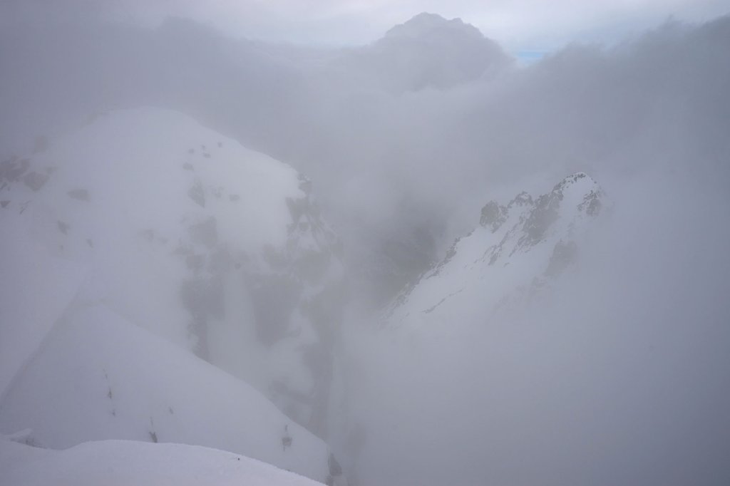
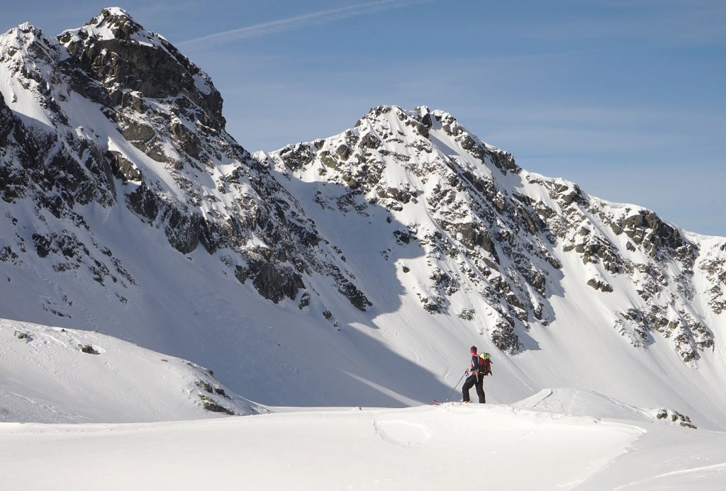
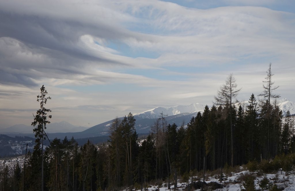
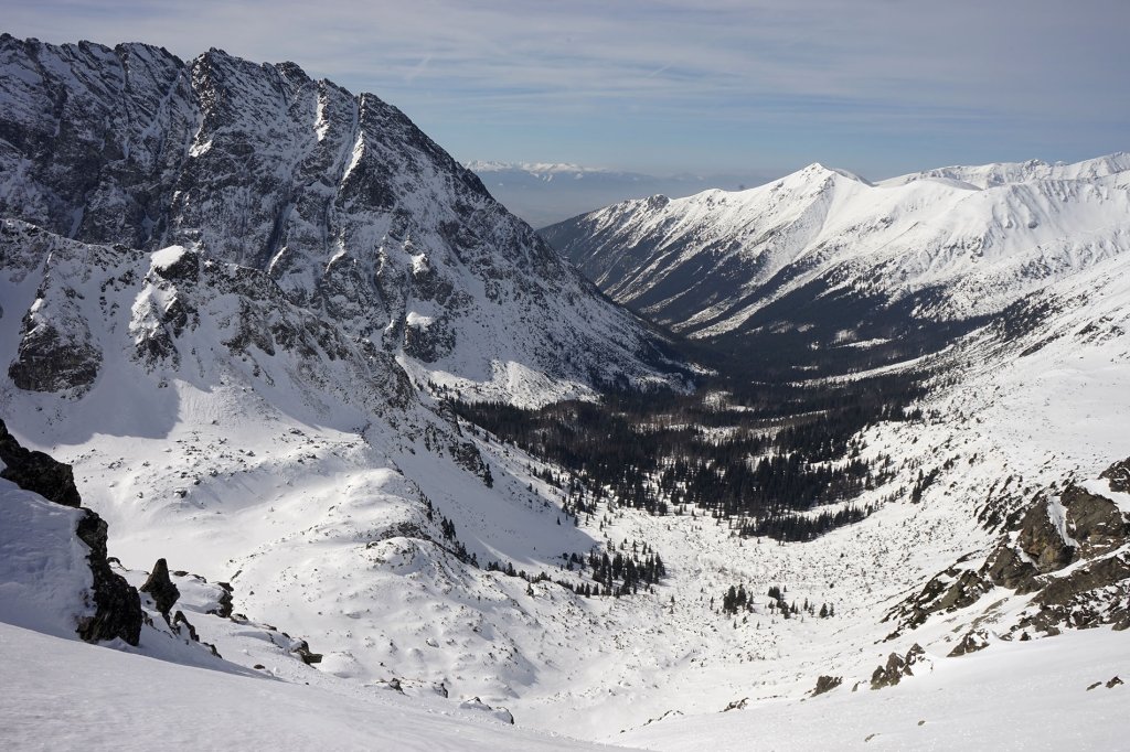
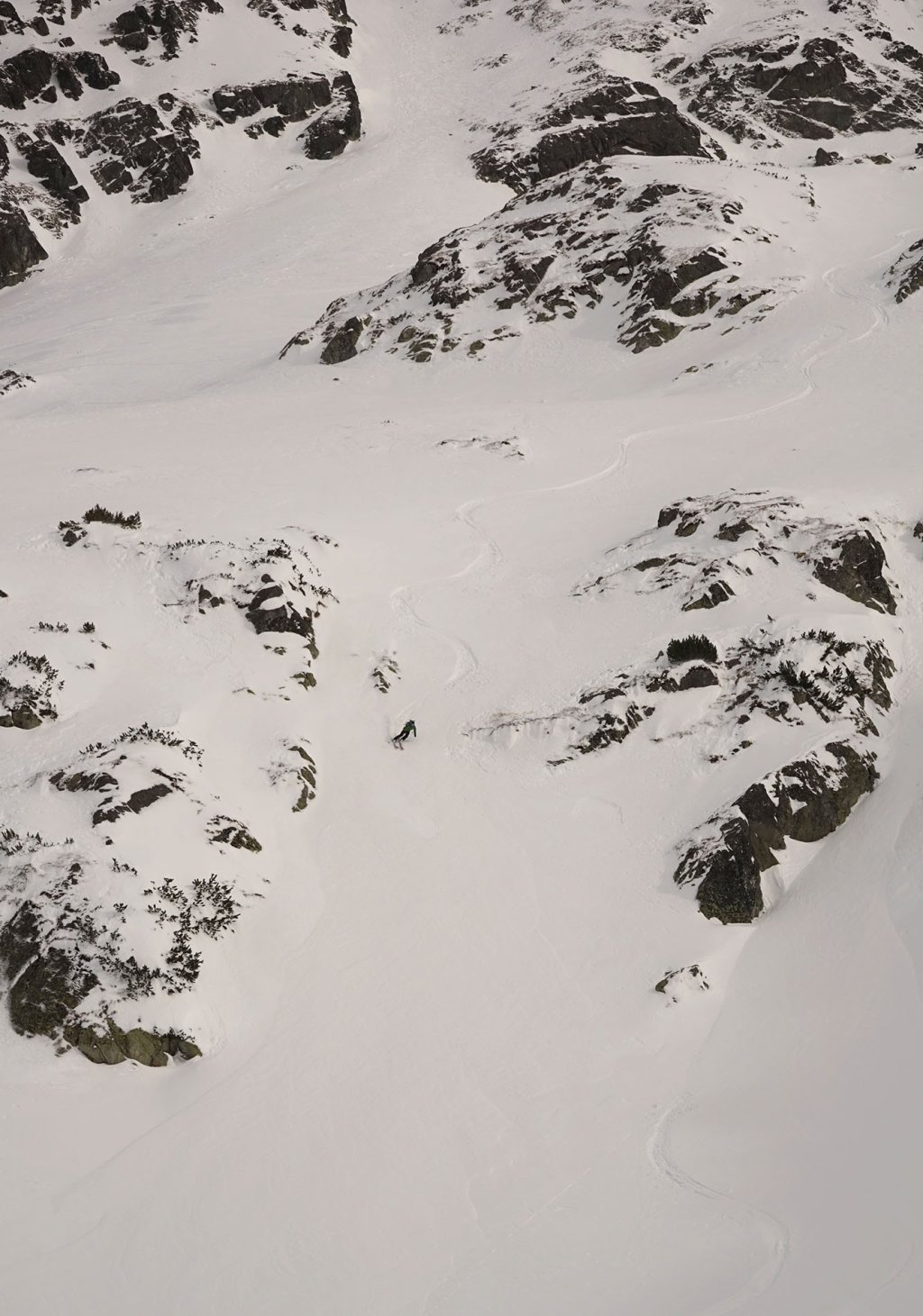
We continue along the ridge to Wyżni Kostur at 2083 metres. We are in the heart of the Tatras. To our left rise the rugged rock faces of the High Tatras, to our right the gentler ridges of the Western Tatras and in front of us the view opens up once again into the Kôprová Dolina, which we had already seen from a different perspective two days ago on our tour with Miro. It is one of the smallest fold mountains in the world.
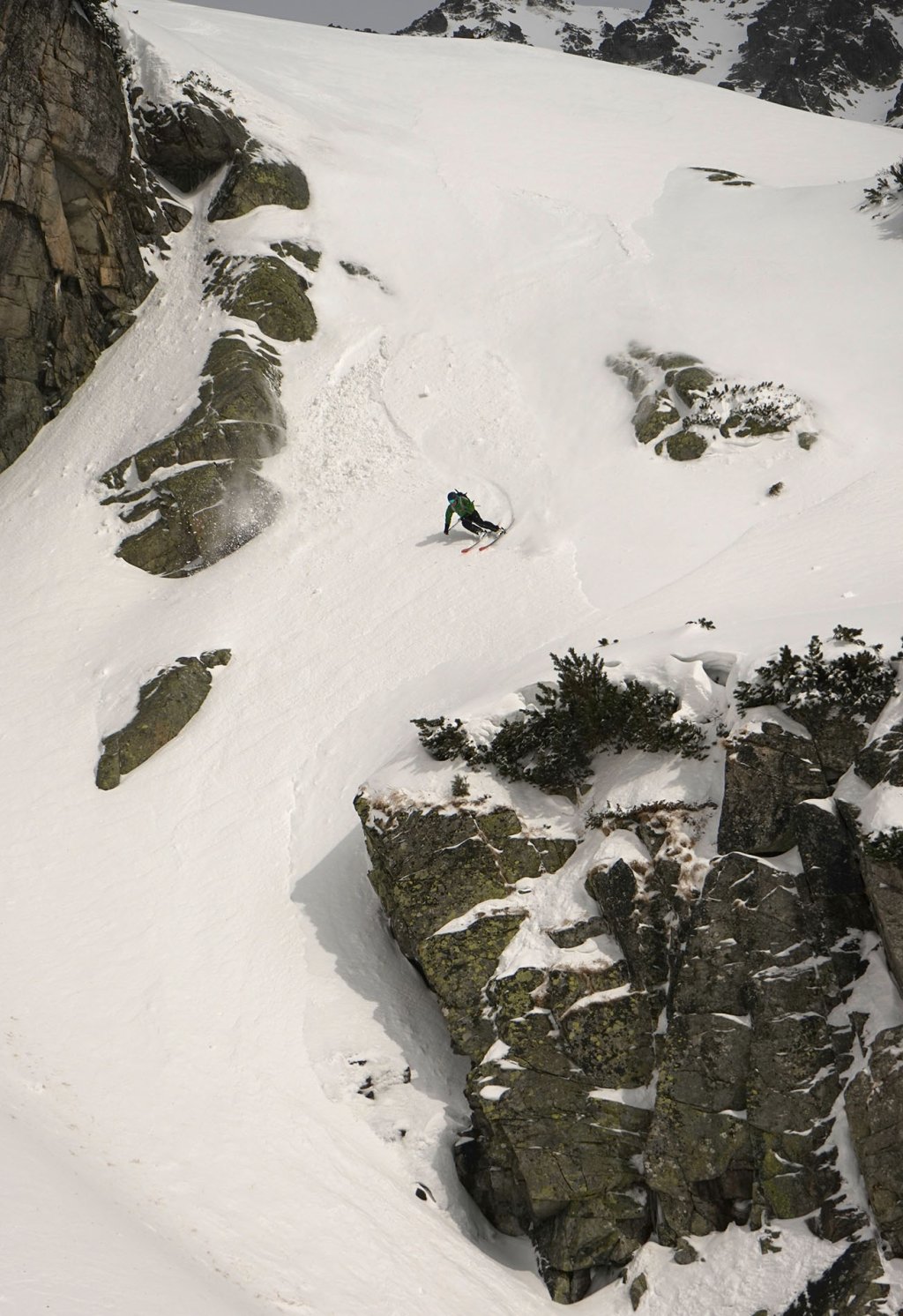
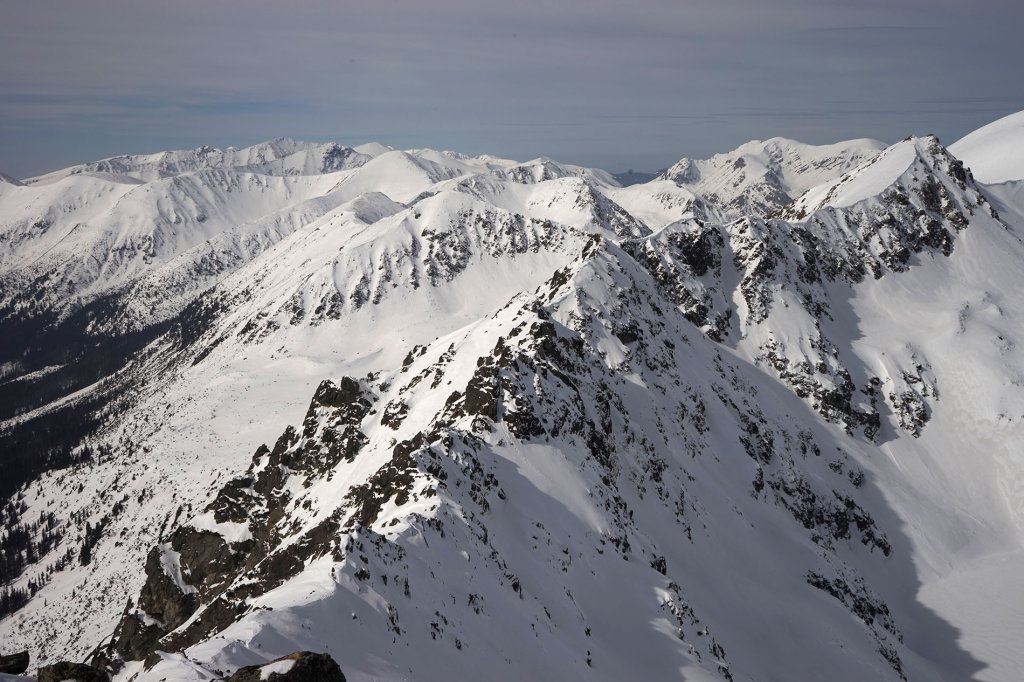
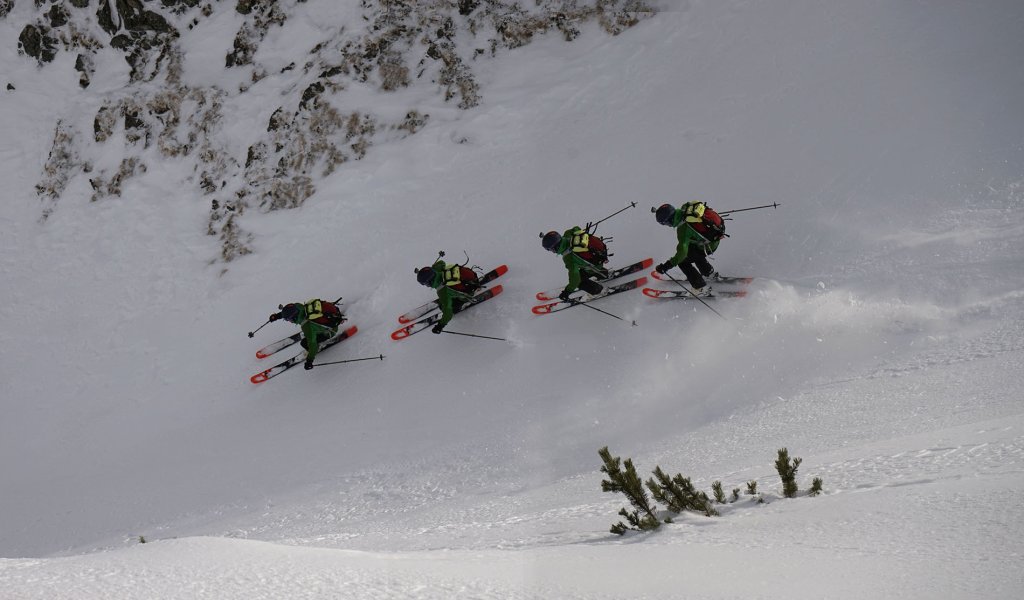
The snow on the Polish side in the Pieciu Stawow Polskirch dolina is soft, dry and not too compressed. We climb up and down repeatedly, always on the lookout for untracked terrain. After 6000 vertical meters in the last six days, we want to relax and enjoy the last day of our trip.
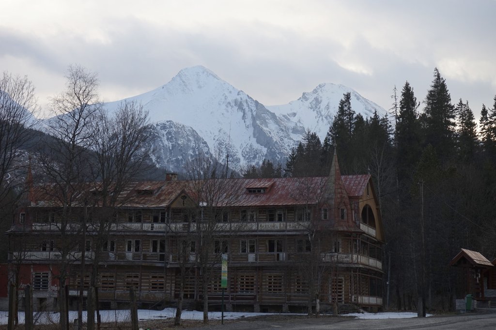
When we get to the hut in the afternoon, the sky darkens. We decide to spontaneously descend and start our journey home - wistfully, as we have got to know a magnificent mountain range.
What we remember about the Tatras
The Tatras are a small and extremely compact mountain range - yet still quite undeveloped. The Western and High Tatras differ in terms of landscape. However, both have breathtaking beauty. The different exposures of the individual mountain ranges make for different weather conditions. Moisture accumulates on the slopes of the Tatras, flowing in from the north-west as well as the south-west. Despite the small size of the mountains, the amount of precipitation can therefore vary zonally.
We found the people in Slovakia and Poland to be very hospitable.
Despite our lack of language skills, it was no problem to find our way around. With a few words of Polish and English, we got by just fine.
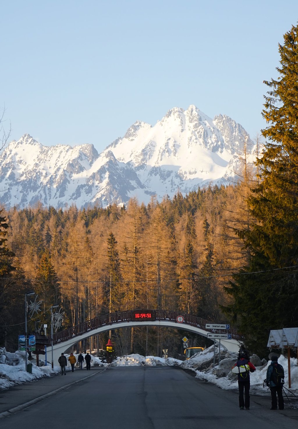
In April 2018, the Freeride World Qualifier tour will once again take place in the Low Tatras in the Jasná /Chopok ski area, the largest ski resort in Slovakia. The most famous winter sports resort is Zakopane in Poland on the north side of the mountains.
Travel data:
Berlin - Rohacska Dolina 731km
Rohacska Dolina - Štrbské Pleso 91km
Štrbské Pleso - Polania Palencia 72.5km
Polania Palencia - Berlin 704km