Skip to content

Cookies 🍪

This site uses cookies that need consent.

Learn more

Zur Powderguide-Startseite Zur Powderguide-Startseite

Language selection

Search PowderGuide

TouringTips

TouringTip | Jiekkevárri

To the crown jewel of Lyngen

by Daniel Schweiss 12/10/2017
Daniel Schweiss
Jiekkevárri
If Lyngen's geographical high point were in the Alps, the summit would certainly be notoriously overpopulated, but here in the far north of Norway you can be completely undisturbed even in perfect conditions in April. Although the ascent is long and involves a lot of climbing, it is generally not very difficult. The reward is Lyngen's longest descent in one go.

Intermediate destination Holmbuktinden, 1666m

The journey to the starting point on the southern Lyngen Peninsula is only recommended if you are already in the south of the peninsula or in the Tromsö area. If you start from the northern peninsula, you will have to accept a good 2-3 hours' drive early in the morning. At Indre Holmbukta on Sörfjorden, there is a spacious parking lot right by the road, which makes it unmistakably clear that there can be comparatively large crowds of hikers here on certain days. Mighty and forbidding, the Holmbuktinden towers almost exactly 1666m above the starting point. A prominent peak that serves as an intermediate destination on the way to Jiekkevárri.

However, we start comfortably at the foot of this striking mountain formation. The route first leads through low, dense birch trees before these are gradually replaced by pine trees. The landscape here still has very picturesque features, but in the background they are already contrasted by the rugged icefalls of the Blaisen Glacier. More or less follow the Tverrelva up to about 400m, where the SW cirque of Holmbuktinden opens up on the left. This offers a fairly pleasant but steep ascent, which in spring is often only accessible with crampons. Once you have negotiated the many hairpin bends, the cirque flattens out at 900m and then splits up again significantly after around 200m in altitude.

TouringTips
presented by

A short gully with a gradient of around 40° leads to the prominent shoulder at around 1400m, which marks the start of the north ridge on the Holmbuktinden. You should avoid venturing too far towards the edge of this plateau. A gigantic cornice, rarely seen even in the Alps, hangs boldly over a very steep north face. Keeping to the right, you now gain the north ridge, which looks more like a narrow ridge and already offers breathtaking views down and across.

In optimal conditions, this leads without difficulty to the surprisingly spacious summit of Holmbuktinden. Time for an extended break and to study the northwest descent via Blaisengletscher. From the vantage point of Holmbuktinden, there are much steeper slopes to the right of the steep glacier abyss, which is torn with crevasses depending on the conditions, and can be reached via a narrow ridge. Regardless of whether you aim for the "standard variant" via Blaisen NW glacier break-off or the steeper, very exposed variant southwest of it, both variants should be studied thoroughly beforehand from Holmbuktinden.

Jiekkevárri, 1834m

The onward route to Jiekkevárri is clearly visible and begins with a short descent via the east ridge of Holmbuktinden. You lose around 200 meters in altitude, although lose is the wrong word, as you gain a good first descent.

Daniel Schweiss
Jiekkevárri

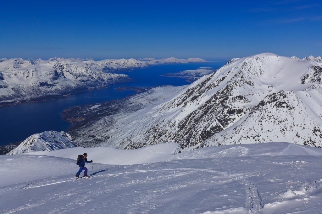
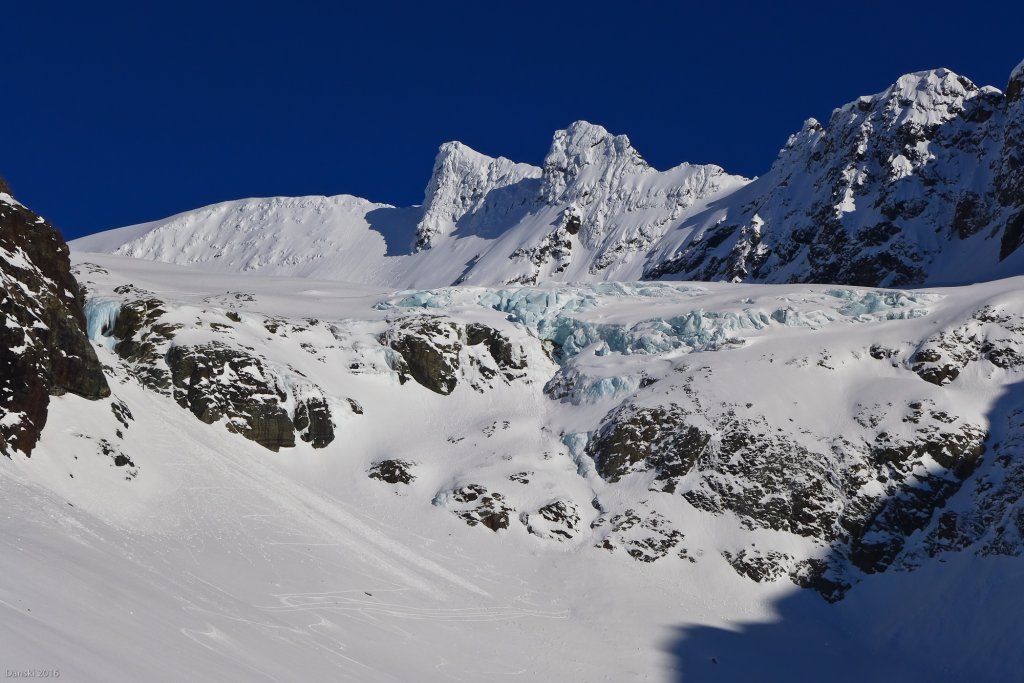
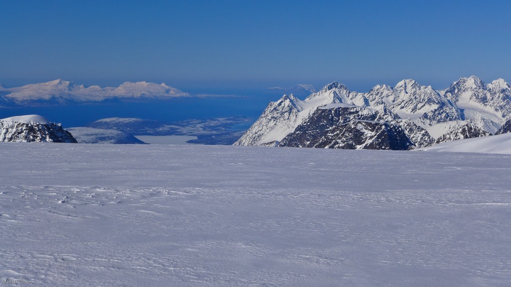
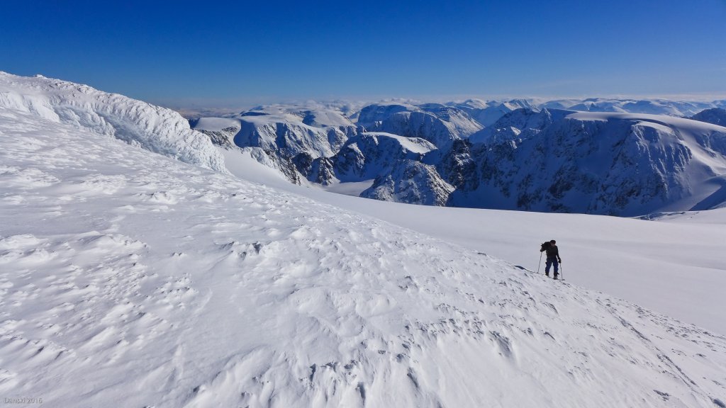
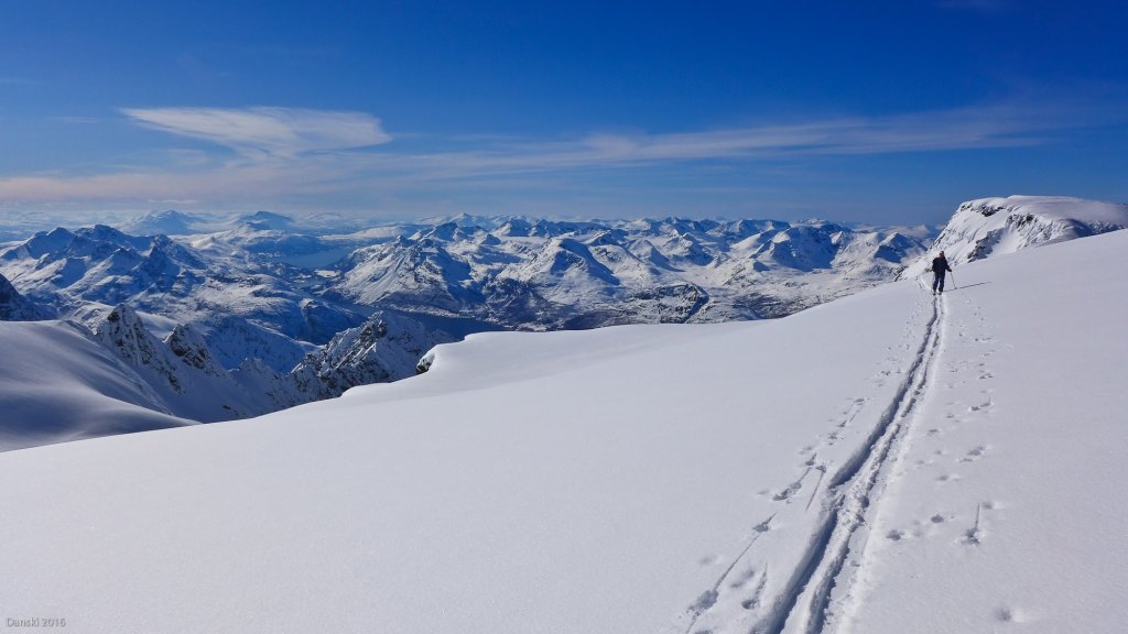
From now on, we are constantly on glaciers, which are not extremely crevassed, but still require a certain amount of caution. The first ascent is also the steepest and can be at risk of avalanches if the conditions are right. Once you have reached the height of Holmbuktinden again, the last 200 meters of ascent are barely noticeable towards the extensive summit of Jiekkevárri. No one puts a cross or any other markings on the highest point here, so you have to try to hit Lyngen's high point as accurately as possible using the horizon or GPS. Regardless of whether you miss the summit by 50 cm, the view in all directions is quite overwhelming, although the lack of exposure means there is no classic alpine summit feeling. But it's precisely this summit exoticism that makes it so special! But even on this rather unusual summit, the anticipation of the upcoming descent takes over after a while.

Descent

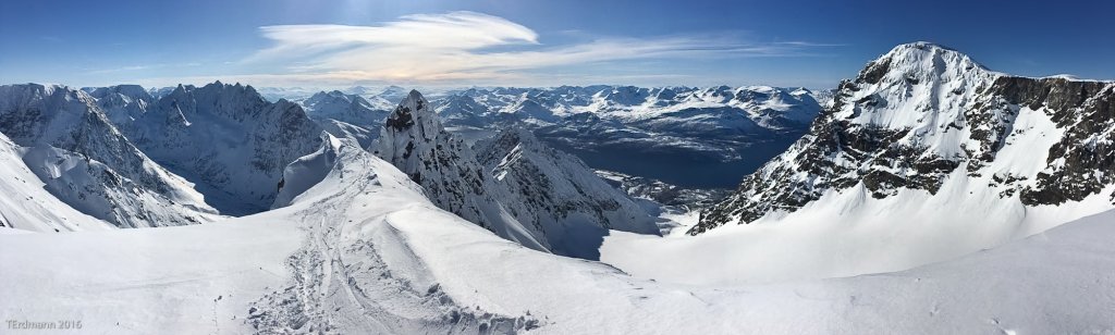
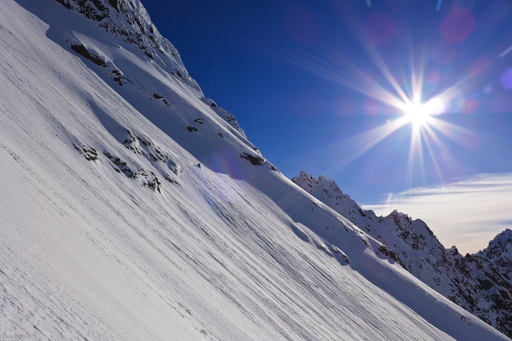
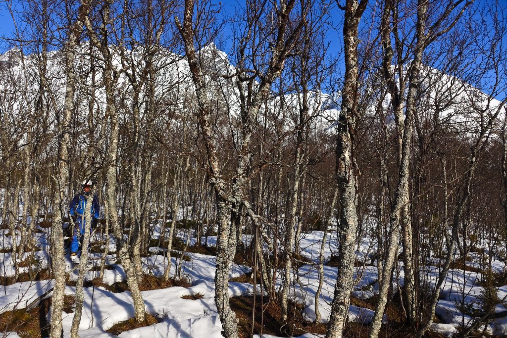
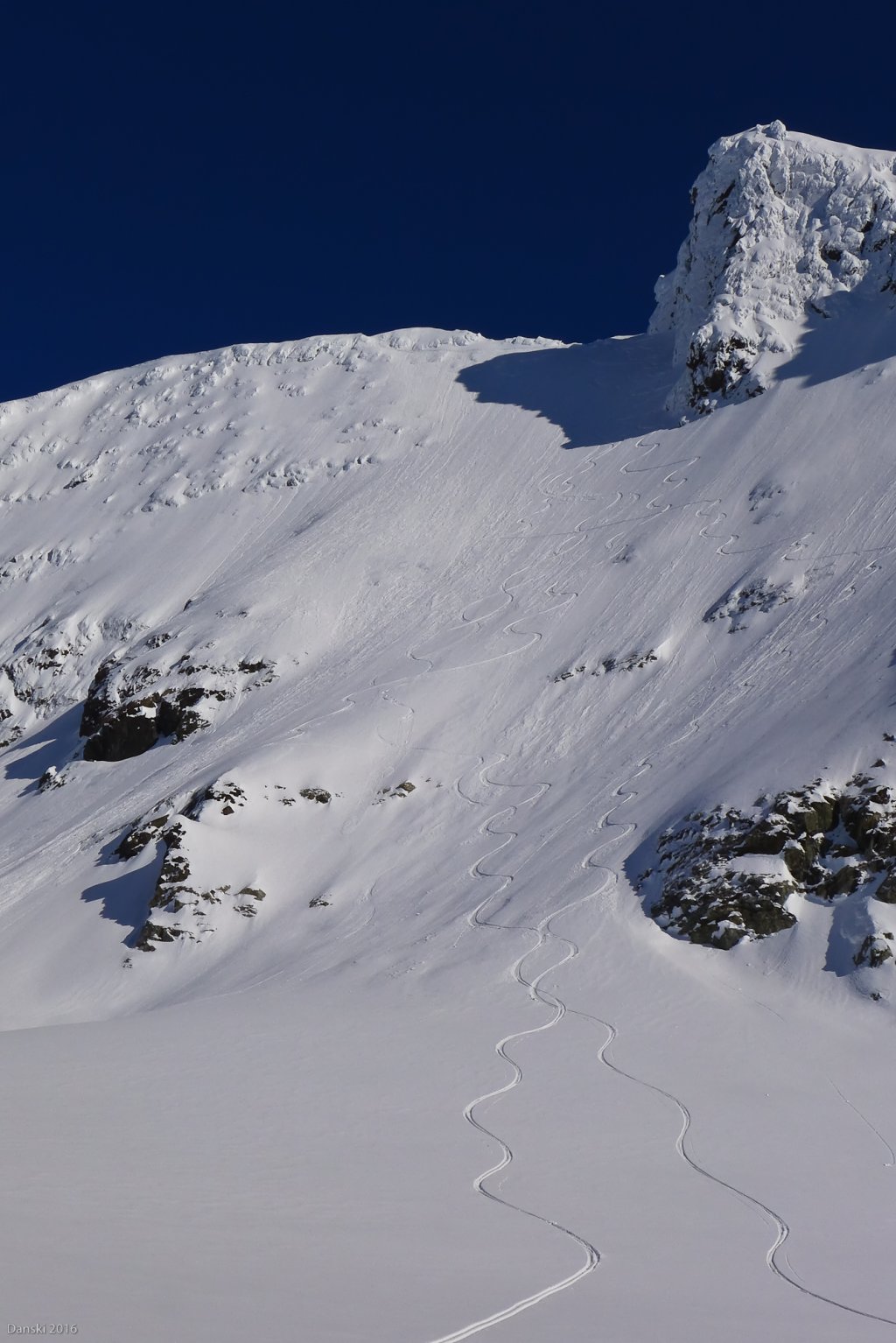
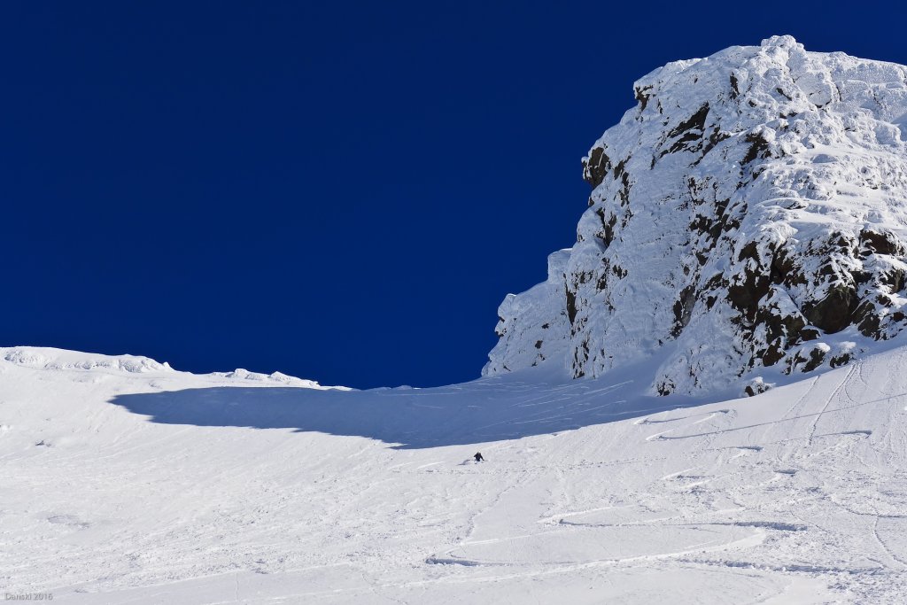
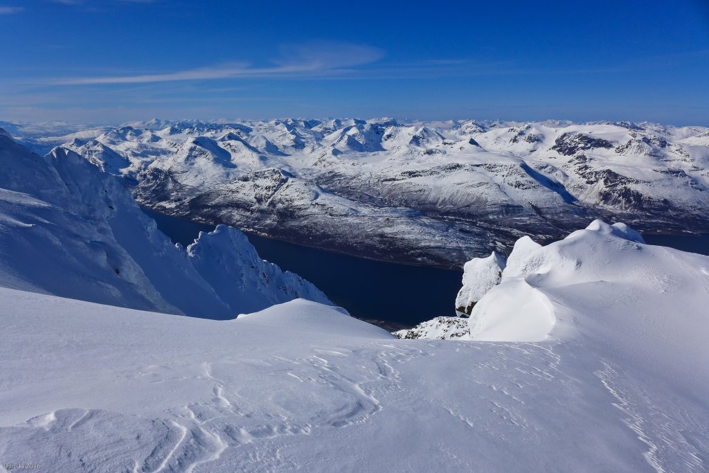
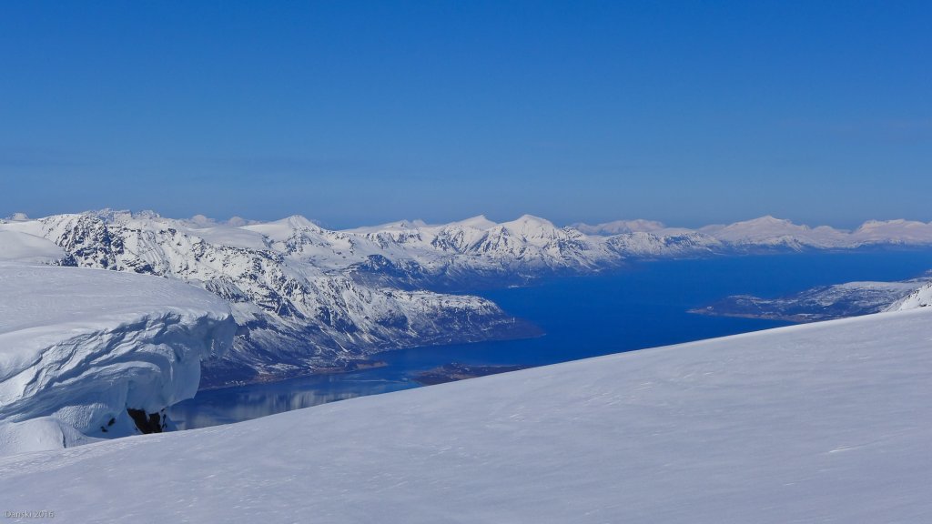
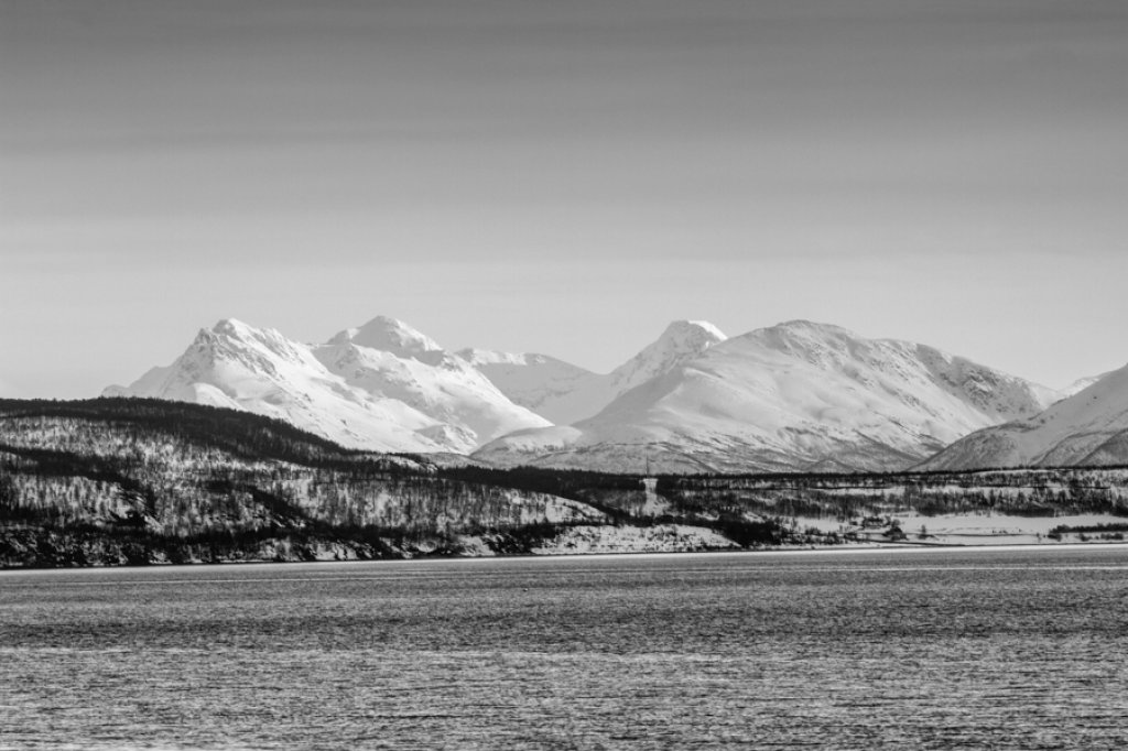
In order to pick up speed, you have to push hard at the beginning, but once you're going, you cruise over wide, immaculate surfaces that allow for some wide turns despite the flat angle. The character changes abruptly at around 1500m. The entrance to the NW abyss of the Blaisengletscher should be well studied at this point, because depending on the conditions, you may encounter considerable cross-cuts here. For lovers of steep descents, an increasingly narrow ridge is recommended at this point, which leads in a south-westerly direction to P.1510. Here, however, you should be very sure of the conditions and your own ability, as the exposure and the often icy snow on this wind-exposed ridge minimize the margin for error to 0. 400m high and 45° inclined NW slopes lead to the flat Blaisen Glacier exactly below the rock needle P.1510. Both variants merge here. The vertical glacier break is bypassed skier's right. Be careful not to linger too long here, as avalanches regularly thunder out of the south flank of Holmbuktinden as the day warms up. Through the wide valley of the Tverrelva, relaxed skiing with fjord views is the order of the day and, as the cherry on top, you can enjoy a truly magnificent cruise through light bushes and photogenic pines on the last 300 meters of altitude. After 8-10 hours, you finally fight your way through the typically dense birch pole forests before enjoying a "Mack", which was chilled in the morning, and can probably claim to have just successfully completed one of the top 3 Lyngen tours.

Summary

Difficulty: ***** (from *****)
Special dangers: steep, avalanche-prone slopes / diurnal warming / general alpine dangers: Route leads over glaciers
Average / maximum steepness: 20-35° / 45° (steeper variant otherwise 40°)
Exposure: SW-N-NW-W
Altitude start / finish: 10m / 1834m
Altitude meters uphill / downhill: 2000m / 2000m
Duration: 8 - 10 hours total
Best time of year: March to June
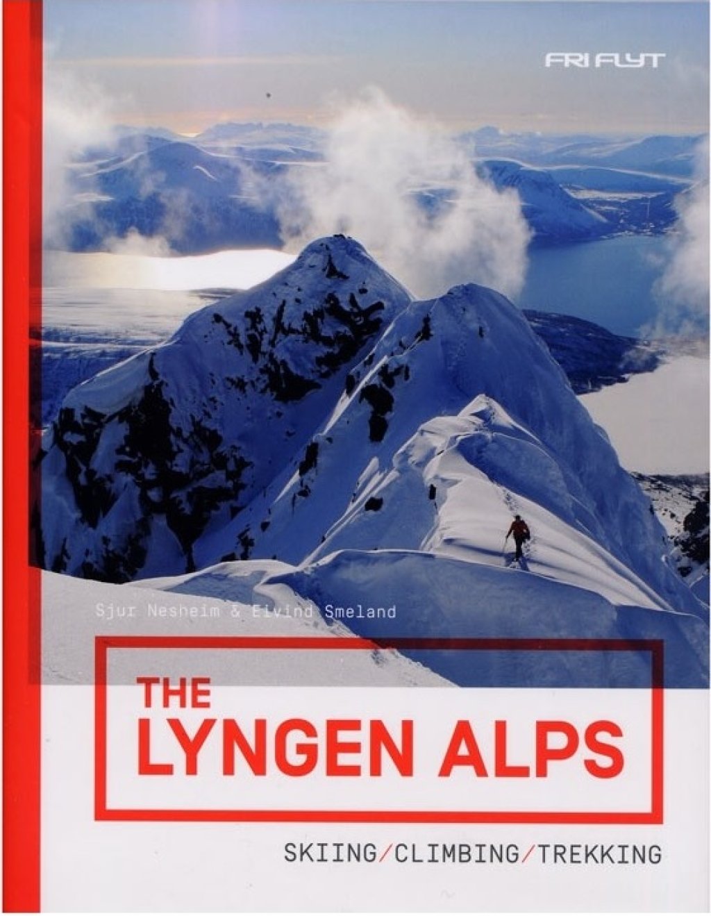
Maps/Note: All altitude coordinates and field names refer to the highly recommended app "Norgeskart" and the Turkart "Lyngenhalv" respectively. the map "Lyngenhalvöya Sör", scale 1:50,000 from the publisher "Nordeca"

Note: The PG touring tips are general descriptions of tours that we like subjectively. Our touring tips DO NOT REFER TO CURRENT CONDITIONS. Read the situation report and the weather forecast and plan your tour accordingly.

Photo gallery

This article has been automatically translated by DeepL with subsequent editing. If you notice any spelling or grammatical errors or if the translation has lost its meaning, please write an e-mail to the editors.

Show original (German)

Related articles

Comments

TouringTips
presented by