Skip to content

Cookies 🍪

This site uses cookies that need consent.

Learn more

Zur Powderguide-Startseite Zur Powderguide-Startseite

Language selection

Search PowderGuide

WeatherBlogs

WeatherBlog 17 2017/18 | Cold front, sun, south föhn

Colorful weather mix for the next few days

by Lea Hartl 03/07/2018
500hPa geopotential and ground pressure, forecast for next Saturday. A remnant of the first nor'easter now lies off the European Atlantic coast and is providing a strong SW flow.

500hPa geopotential and surface pressure, forecast for next Saturday. A remnant of the first nor'easter now lies off the European Atlantic coast and is providing a strong SW flow.

meteociel.fr
Today, Wednesday, will be cloudy and wet across the entire Alpine region with the passage of a cold front. There will be the most fresh snow on the main Alpine ridge, but there may also be the odd heavy shower in the "peripheral areas". There will probably be no alerts anywhere, those who get 20 cm can be satisfied.

The cold front is being produced by a low with a core off Scotland and is approaching the Alpine arc from the west. Accordingly, it will get wet earlier in the west and dry again earlier - in the eastern Alps it may snow until late into the night, but it will start later.

Outlook

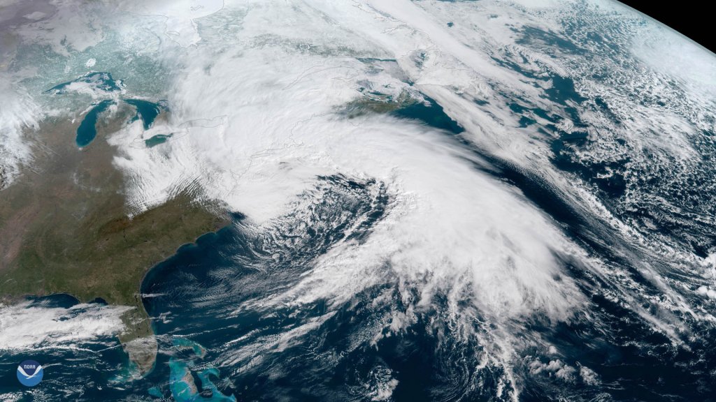
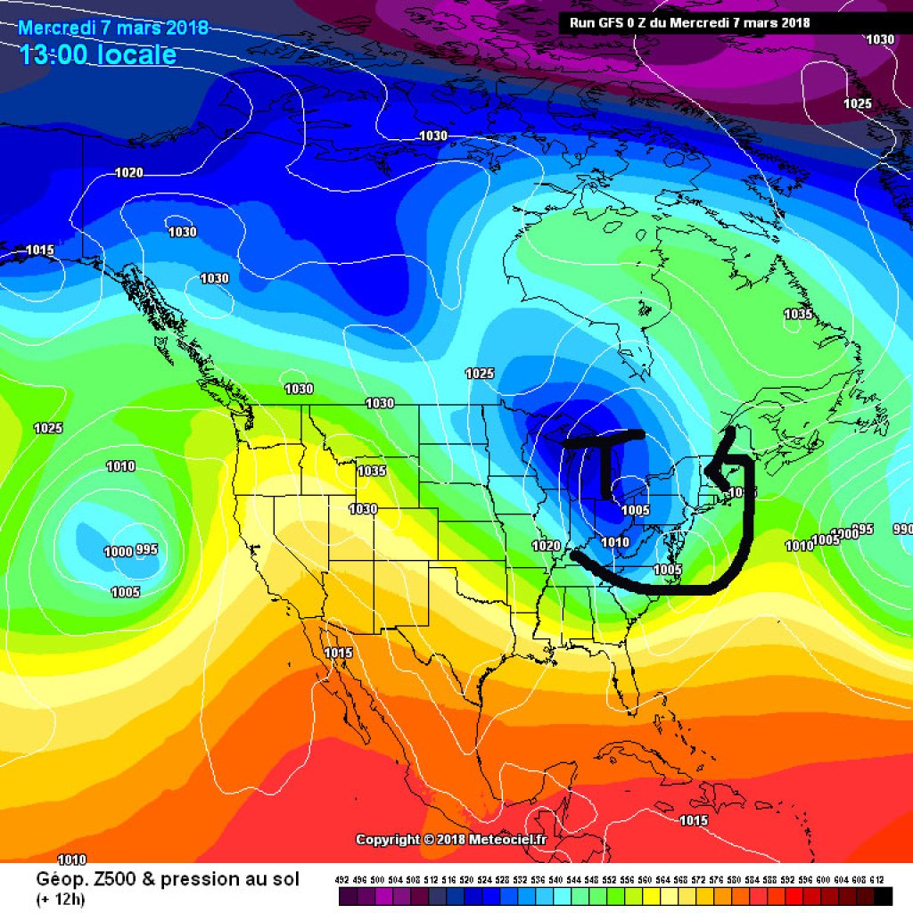
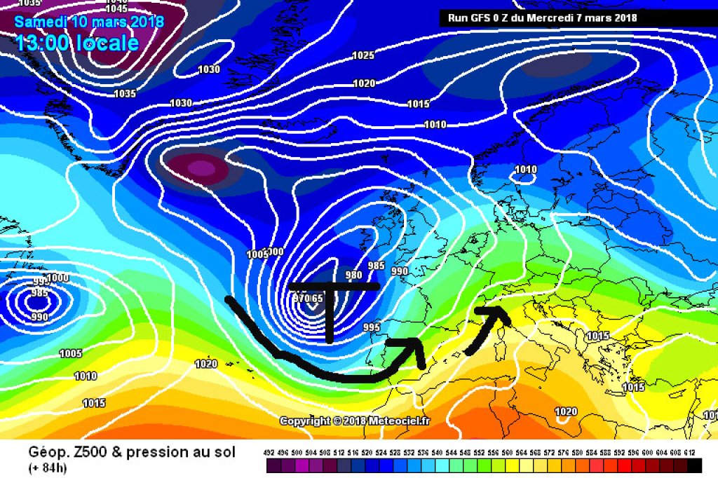
A new Atlantic low will take over over the next few days: a trough will form off the coast of France and Portugal from the remnants of Friday's nor'easter (see below), which will keep us busy until the weekend. Thursday and Friday will be relatively friendly with a weak intermediate high influence, although more compact clouds are likely to be present from time to time. During Friday, the current will turn to the southwest due to the aforementioned trough. This is associated with a general rise in temperatures and the familiar mixture of foehn in the north and accumulating precipitation in the south. The latter may well turn out to be heavy and the snow line may become problematic - we're familiar with that too. If a PowderAlert is issued for the south, the oracle will certainly announce its prophecy in good time.

WeatherBlogs
presented by

Looking across the pond

The weather on the US east coast is once again shaping up to be interesting. Already on Friday, Nor'easter in combination with a so-called bombogenesis caused widespread chaos. 8 people died due to falling trees. 2 million people had no electricity on Friday evening because trees had fallen into power lines. 3000 flights were canceled, highways were completely closed at times and some commuters were stuck in their buses overnight. A tweet from the National Weather Service quotes a pilot's report on a flight to Washington on Friday: "More or less everyone puked. Pilots almost puked, too."

The second Nor'easter expected today should be a little less severe, but with power still partially restored and other storm damage still to be repaired, the situation remains critical. New York City is expecting 30cm of fresh snow on Wednesday. The National Weather Service recommends preparing for further power outages and staying at home if possible.

The Nor'easter from last Friday, satellite perspective.

The Nor'easter from last Friday, satellite perspective.

NOAA/NESDIS

This type of severe, cold, snowy low is typical for the east coast of the USA and can only develop in this form on the east coast of a continent, from a polar cold air outbreak and the relatively warm ocean to the east of it. If a trough filled with cold polar air forms in the eastern half of the North American continent, the chances are pretty good that it will slide a little to the east with the prevailing westerly drift in these latitudes and reach the Atlantic. There it can soak up moisture and unload it from the north-east (hence the name Nor'easter) onto the east coast.

This article has been automatically translated by DeepL with subsequent editing. If you notice any spelling or grammatical errors or if the translation has lost its meaning, please write an e-mail to the editors.

Show original (German)

Related articles

Comments

WeatherBlogs
presented by