Current situation and outlook
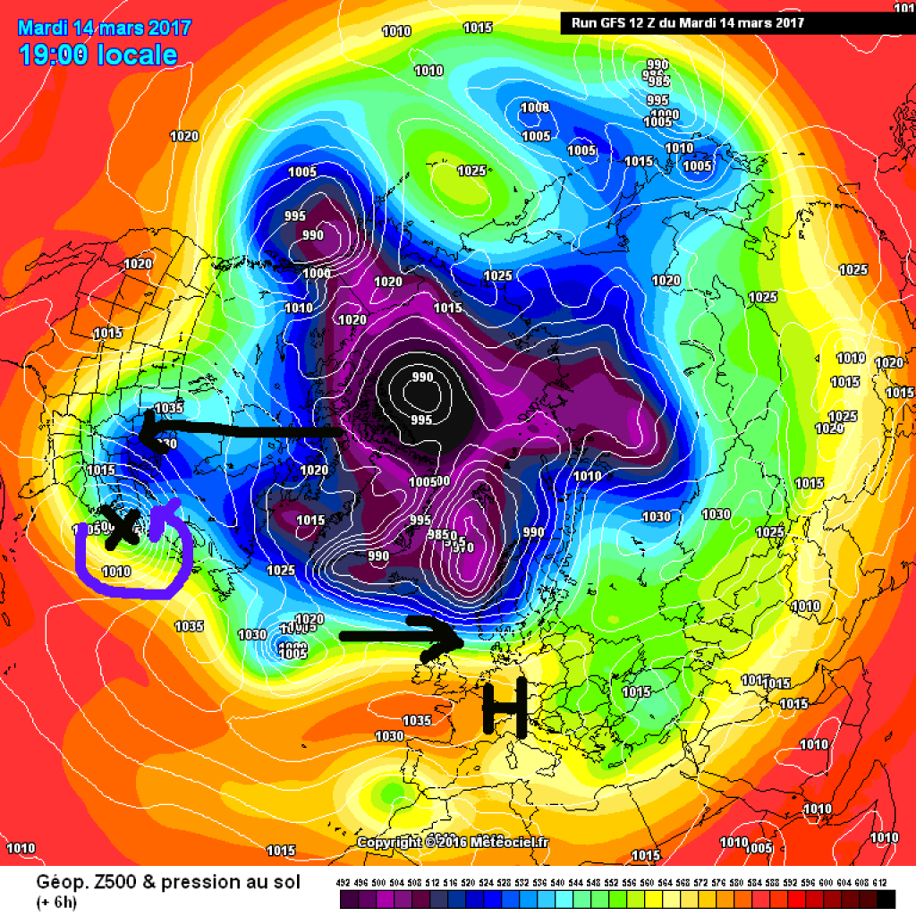
High pressure has prevailed in the Alps since the beginning of the week with sprouting flowers, birds screaming in the morning and other spring feelings. It will stay that way until Friday. Last week, the frontal zone, which is relatively far to the south, kept us busy; this week, it was pushed far to the north by the Azores High. However, a change in the weather is on the cards for the weekend. The strong westerly drift will overrun the Azores High, which is rebellious in the north, and a low with a core in the North Sea area will send its fronts towards the Alps. This means precipitation in the north, while it will remain clear and dry(er) in the south. It is expected to remain relatively warm everywhere, which means that the still uncertain snow line will have a say in the quality of the potential weekend powder.
PowderAlert in Manhattan
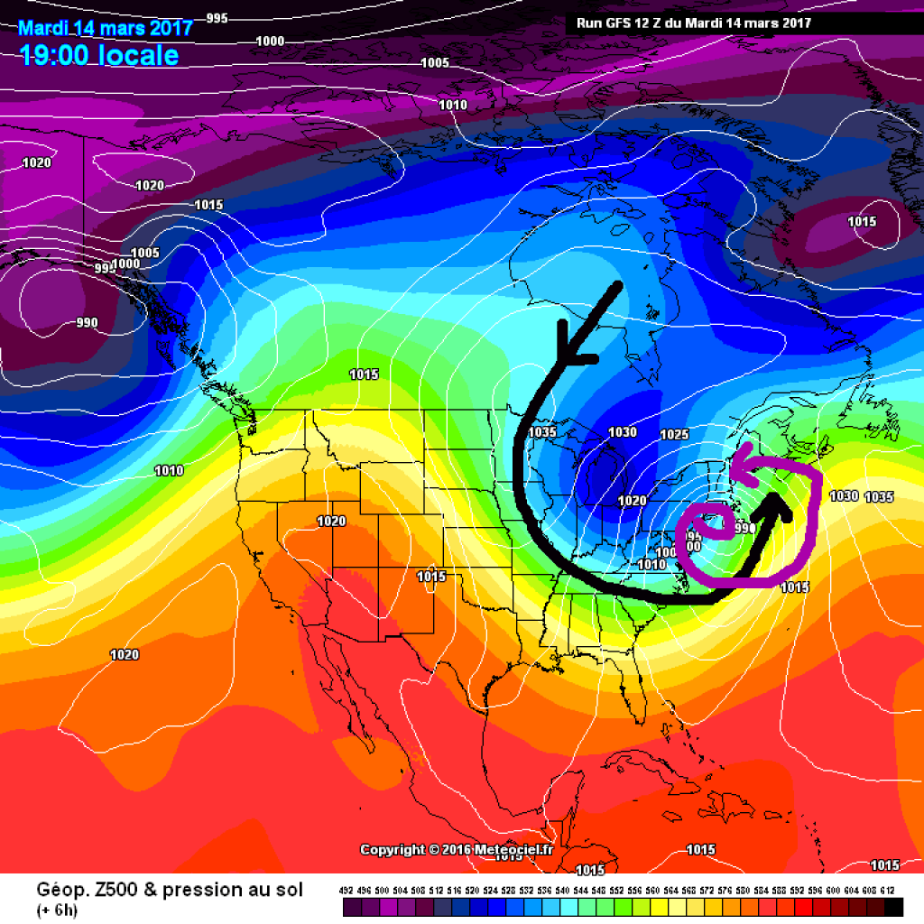
While the current week has been fairly calm in the Alps, the weather on the other side of the Atlantic is currently all the more turbulent: Once again, a Nor'easter has large parts of the US East Coast firmly in its grip. On Tuesday, thousands of flights were canceled, there were widespread power outages, schools remained closed and the post office also waited until the weather calmed down before delivering letters. The storm is called Stella and brings a lot of fresh snow and rain to major cities such as New York and Boston.
Nor'easter (North-Easter) is named after the wind direction and is not unusual, especially in the winter months on the US East Coast, but sometimes more, sometimes less violent. Stella definitely has it all. The low developed on the Gulf Coast on Monday, moved a little to the north and underwent a so-called bombogenesis (bomb + cyclogenesis = bombogenesis = real word!), i.e. it became stronger very quickly. As a rule, we talk about bombogenesis when the core pressure of a low drops by at least 24hPa in 24 hours. (to read more: DWD Topic of the Day, Explanation of rapid cyclogenesis) The main ingredient for this is strong horizontal temperature gradients in the area of the low, i.e. very cold air next to very warm air, and the east coast of the American continent is predestined for this. If the jet stream is in the right position - as is the case at the moment (wedge in the west, trough in the east) - polar cold air flows far to the south. In principle, such outbreaks of cold air are also known in this country. However, in the USA, the warm Gulf Stream is waiting for the polar air masses to cook up an explosive soup together. In combination with a strong low pressure system, this sometimes leads to a kind of self-reinforcing effect: both the low pressure system and the nearby high pressure system become stronger and stronger. And meteorologists are inventing new words.