Skip to content

Cookies 🍪

This site uses cookies that need consent.

Learn more

Zur Powderguide-Startseite Zur Powderguide-Startseite

Language selection

Search PowderGuide

WeatherBlogs

WeatherBlog 20 2017/18 | Südstau ahead

West is followed by South

by Lea Hartl 03/28/2018
Hello spring!

Hello spring!

LH
As can be seen from the current PowderAlert, we are currently in a large-scale westerly current that is not only relatively cool but also relatively damp. The resulting snowfall in the northwest will be followed by südstau and Föhn in the north. Once again.

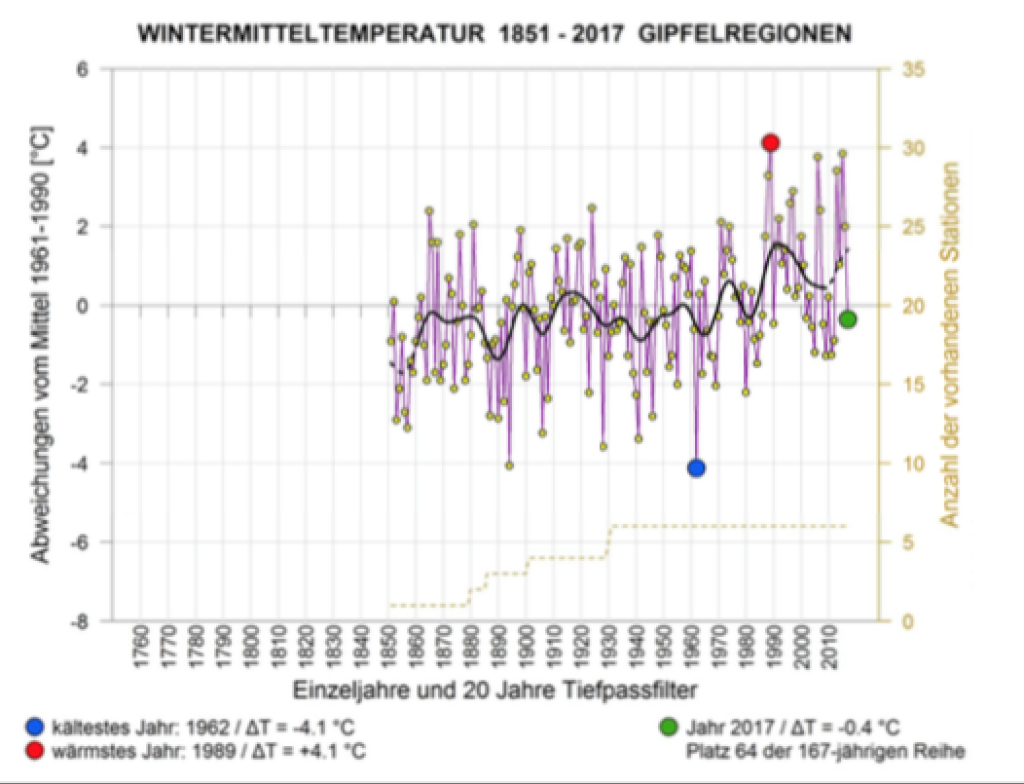
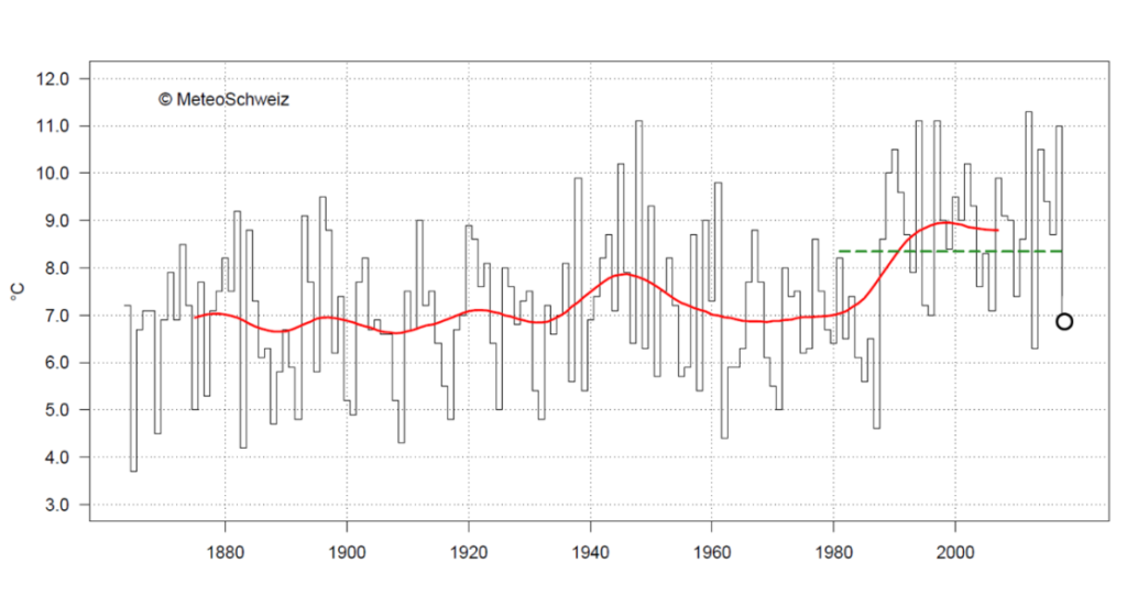
March was and still is cool and wintry, especially south of the main Alpine ridge. MeteoSwiss, for example, has prepared this in detail here for the Lugano location. The possibly more important statistics can be found in the PowderAlerts of the month. Although the current one applies more to the northwest, there will most likely be one for the south this week and it hasn't been long since the last southern alert.

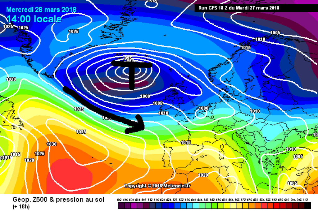
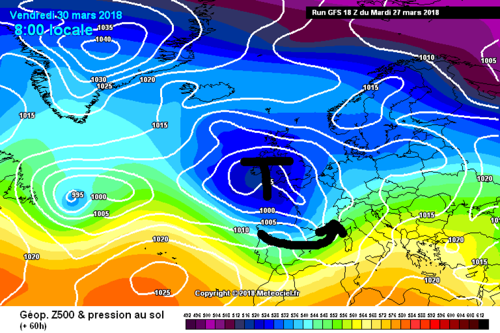
A westerly flow is responsible for the cool March weather today and tomorrow, which will bring a disturbance to the Alps from the northwest in the course of today. As can be read in more detail in the PA, this will be particularly active in terms of snow in the western part of the northern slopes of the Alps. As the flow is quite strong, not everything will stick to the edge of the Alps, so that the northern main ridge will also get the odd snowflake or two. In the eastern Alps, it will also become cloudy during the course of the day, but less and less snow will accumulate towards the east.

WeatherBlogs
presented by

The disturbing low is still in the middle of the North Atlantic today with its core somewhere slightly south of Iceland. However, it is slowly but surely moving southeast and will reach the European Atlantic coast by Friday. As a result, the current in the Alpine region will slowly but surely turn to the southwest. Thursday looks pretty cloudy pretty much everywhere, in the north thanks to the disturbance remnants from the previous day, in the south thanks to the onset of a southerly flow. By Friday, we'll be in the south with a decent amount of congestion and in the north with a foehn. From today's perspective, the Föhn will break down on Saturday, allowing the precipitation to spread to the northern side of the Alps. However, the development for the Easter weekend is still so uncertain that the WeatherBlog does not want to go out on a limb with a more precise forecast for the egg hunt. The PowderAlert will probably get back to you soon and explain the südstau in more detail.

Furthermore, we recommend the recently published HISTALP winter report from ZAMG today: "Calculated over the entire Austrian lowlands, the winter of 2017/18 was 1.4°C too warm compared to the 1961-1990 average, narrowly missing out on a place in the top 30 of the hit list of the warmest winters. It was 0.4°C too cold on the mountains, which puts it in 64th place in the ranking of the coldest winters for the summit regions. Looking at the precipitation totals, the winter of 2017/18 was comparatively wet, but only the valleys of western Austria achieved a top position in the hit list of the wettest winter seasons with 3rd place."

500hPa geopotential and ground pressure, Wednesday 28.3. disturbance embedded in a westerly flow bringing precipitation.

500hPa geopotential and ground pressure, Wednesday 28.3. disturbance embedded in westerly flow brings precipitation

.

meteociel.fr

The so-called HISTALP data are long climate time series that cover the whole of Austria in a regular grid. In the quote above, it is noticeable that the reference period 1961-1990 is still used here and not the period 1981-2010, as is now usually the case. The latter was warmer on average, in Switzerland for example by 0.6°C, as can be seen from the MeteoSwiss winter review mentioned here (twice is better). In general, the key data for the winter of 2017/18 in Switzerland is similar to that of Austria: "The Swiss winter of 2017/2018 had normal temperatures on average across the country. The mountain regions recorded below-average winter temperatures, while the lowlands on both sides of the Alps recorded above-average temperatures. In the mountains, the winter brought plenty of snow."

The WeatherBlog is hereby discontinuing regular operations for this season. Not because the season is over, but because it needs a break and wants to make the most of the spring touring season. There will be irregular updates for special weather events.

Photo gallery

This article has been automatically translated by DeepL with subsequent editing. If you notice any spelling or grammatical errors or if the translation has lost its meaning, please write an e-mail to the editors.

Show original (German)

Related articles

Comments

WeatherBlogs
presented by