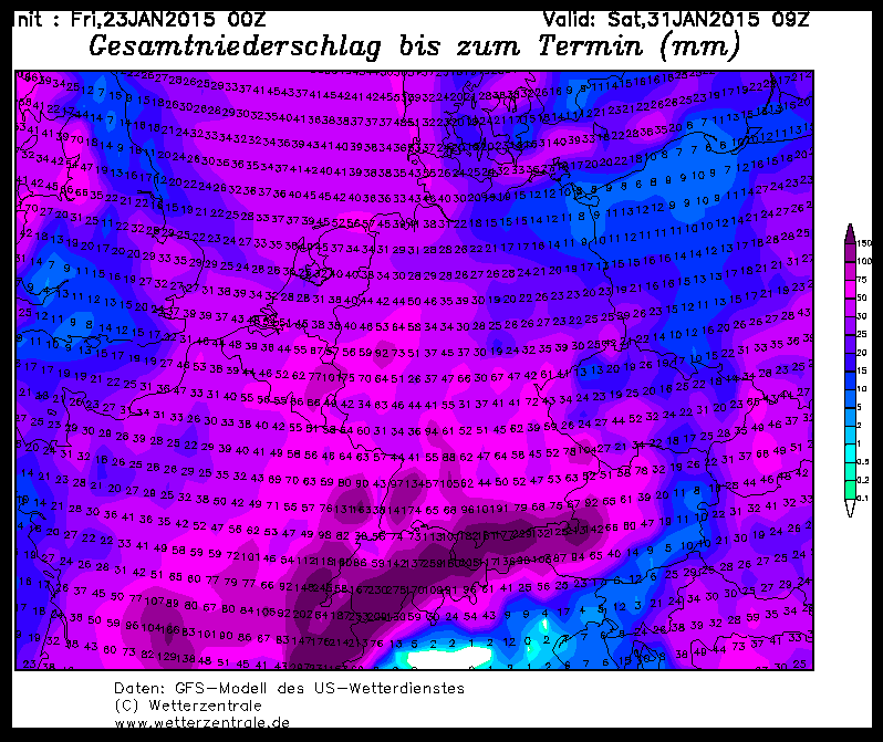
But why go far away when the good stuff is so close. As you've noticed, it's already snowing and there'll be alarm-worthy amounts by Wednesday morning.
The snow line is just right and there'll probably be powder everywhere. The wind isn't that wild and should also remain within powder-friendly limits.
Where is the snow coming from? From the Mont Blanc massif to the Salzkammergut, it will snow: Ullr should dump 25 to 50 cm across the board by Wednesday, with the focus more from Tyrol to the east.
The uncertainties are around minus 10 cm in the west, so that France could possibly only get just under 20 cm, and plus 10 to 20 cm in the east, where the accumulation is notoriously underestimated, so that there could well be 10 to 20 cm more in the direction of the Salzkammer. So a maximum of 60 to 70 cm in the eastern reservoirs.
What to do? A large part will arrive by tomorrow (Tuesday), so if you know what the base was like, you can also go into the trees in selected areas. If that's too uncertain, wait for the intermediate high on Wednesday and then take a look above the tree line. However, the following applies here: where it snows and the foundation is weak, it becomes extremely dangerous again, as it is not the nice powdery layer of fresh snow that poses the danger, but the weak layers in the deeper layers of the snow cover. This is particularly treacherous when there is no drifting snow at the top, but fluffy powder due to the rather weak wind. So take care, read the bulletins and don't become part of the statistics.
As announced, the possible monster dump at the end of the week has shrunk to a normal snowfall, the next alert should then appear on Wednesday evening because it is still snowing quite heavily. But if you want to book your trip to the epicenter, you should head towards the northwestern Alps. More on this on Wednesday. It will remain cold, however, so you can still go powdering wherever it falls.
Powder to the people!
Your oracle


