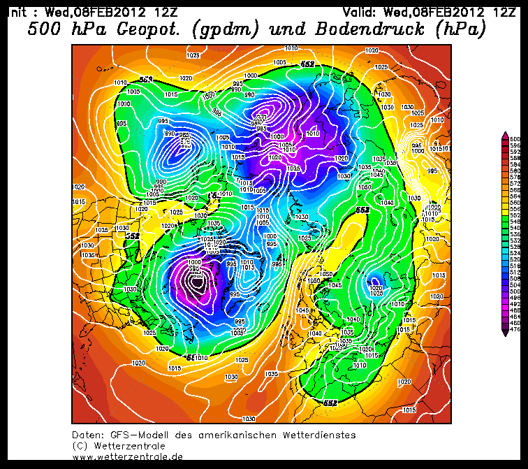
The most interesting weather phenomenon in the Alps at the moment is the temperature. Cold feet and light frostbite among skiers are becoming luxury problems in the wake of the current cold snap.
Cold snap
Anyone who has been out and about in the last few days has been able to feel the cold in their nose, which has become a little sticky due to the frost. You could also wear down jackets on the ascent and get a headache from too much ice on the descent. Crying ski course children could not be soothed even with sweets. This is due to the cold from the continental east, which we mentioned last week and which is disrupting the circulation in our latitudes. The westerly weather that dominated until recently has no chance and any Atlantic influence is blocked. Even if today's Wednesday (8.2.12) was comparatively mild, the cold will remain with us in a slightly weaker form in the near future.
New snow in the south and east
While the Alps are freezing, other regions are drowning in snow. We rarely find fault with that, but in Istanbul or Sarajevo things look a little different. While traffic problems were the main problem in Turkey, a state of emergency was declared in Serbia and Bosnia and all schools and kindergartens were closed for the entire week. In northern Albania, too, mountain villages can only be supplied by helicopter. In the Alps, on the other hand, the amount of fresh snow was very manageable: often only a few centimetres of extremely loose snow trickled out of the high fog.
The outlook
On Thursday (9.2.2012), the brief respite from the cold will be over again. The north wind is freshening up and it will become increasingly cloudy towards Friday. There will also be little change to the basic snow situation. It is likely to snow a little in the east of the Eastern Alps on Friday, but the south, as well as the real deep south, for example in Abruzzo or on Mount Olympus, and the real east in the mountainous Balkan states will remain more interesting with a possible genoa low in the medium term.


