After changeable carnival days with mini-northern congestion, high-pressure weather increasingly prevails and provides plenty of sunshine and mild temperatures for spring fever.

Current situation
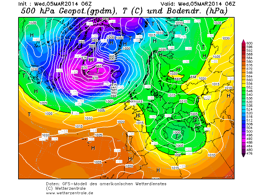
As has often been the case recently, our weather over the past few days has been determined by a powerful low pressure system off the British Isles, which is sending its foothills southwards. The Alps are located in a long strip of low air pressure between the Azores High and a strong high over Eastern Europe. For a change, this constellation has recently resulted in a northerly flow and clouds are still lingering north of the main Alpine ridge, while the sun has already managed to break through in the south with north föhn.
Closer outlook
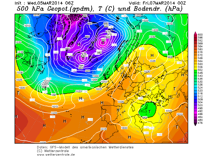
The Azores High is preparing to drive the low pressure out of Europe and is reaching out to its colleague in the east to form a high pressure bridge. The small low in the south is being cut off by its big brother in the Atlantic and is no longer allowed to join in. From tomorrow (Thursday) it should become increasingly friendly everywhere, although in the eastern Alps only the higher mountains may peek out of the high fog. From today's perspective, the weekend will be sunny throughout, with clear nights and mild temperatures.
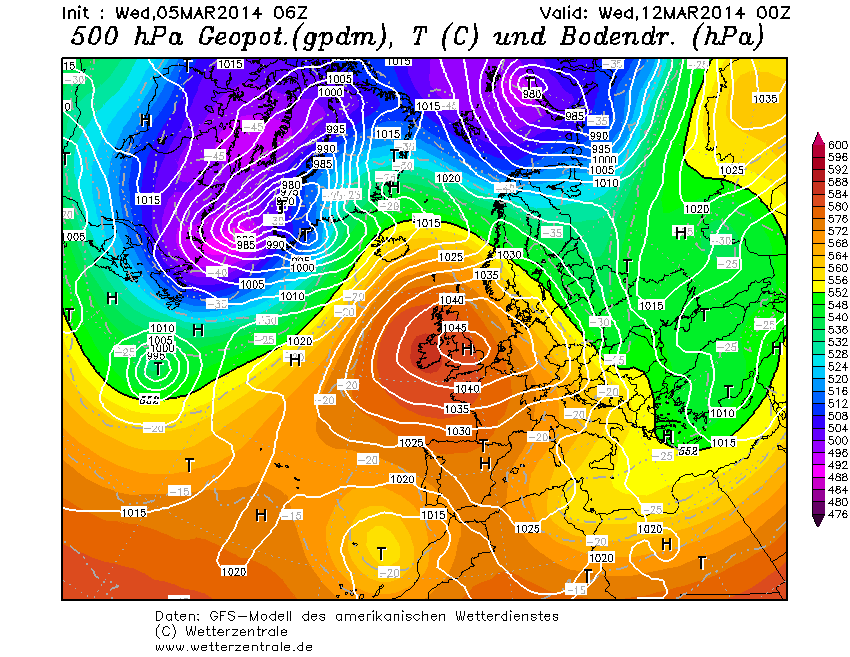
Further prospects
At the moment, it looks like a prolonged phase of high pressure. The current model runs see the high-pressure bridge collapsing at the beginning of next week and, as a result, an independent high pressure system settling over western and central Europe. With a core over the North Sea, this would be an option for blocking the Atlantic disturbances that we know so well. The result would be a west-east temperature gradient, with mild, largely sunny weather in the west and cooler, more unstable conditions in the east. Although the trough over Eastern Europe would only touch the Alpine region marginally, it could cause colder air to flow in. As no real reservoir of cold air has accumulated over northern Europe this winter, significant outbreaks of cold air and a correspondingly wintry March are unlikely. Last year, there were strong winter spells again in March, but there was also the cold air. As we all know, spring skiing is also nice...