The weather is not interested in the turn of the year and continues as before. In the south, the next accumulation of precipitation is on the cards, while the drought continues in the north.

What was
In Austria, 2013 was the eleventh warmest year in the 246-year history of measurements. At 4% above the long-term average, precipitation was more or less average across the entire country and year, but this value is made up of various extreme events that offset each other. For example, the flood of the century at the end of May/beginning of June was followed by a very dry July. In August, the 40°C mark was exceeded in Austria for the first time since measurements began. You can find out more about last year at ZAMG.
http://www.zamg.ac.at/cms/de/klima/news/elftwaermstes-jahr-der-messgeschichte Last December was too warm and too dry in Austria, with the Christmas südstau in East Tyrol and parts of Carinthia causing a local increase in precipitation of up to 100%. Despite this, 50% less precipitation fell across the whole country than the long-term average. The same applies to the rest of the Alpine countries: south of the main ridge, the accumulation event improved the statistics once again towards the end of the month, while the north remained unusually dry.
What's up?
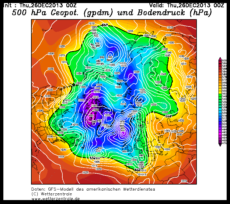
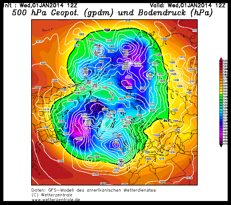
Snow-wise, it's as you would expect: In the south at higher elevations it's quite alright, in the north the base is missing and the fresh snow and the southern slopes are slowly petering out even above 2000 m. The snowpack structure leaves a lot to be desired and as much as you would like the snow, you are also a bit scared of the avalanche situation that you would have if it came. Weather-wise, little has changed since last week. A cold air center over Canada is cranking up the cyclogenesis in the Atlantic and keeping the western highway running for the time being. For us, this means that everything will continue as before. There are always disturbances embedded in the south-westerly flow, which bring snow in the south, but only quite high up, and foehn in the north.
What's to come
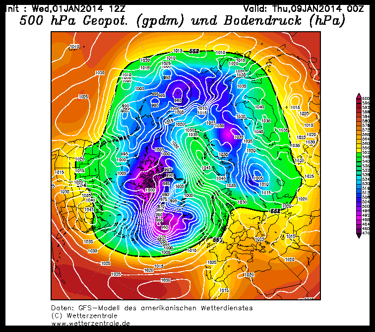
Specifically, a cold front will arrive on Thursday, bringing clouds and precipitation towards the afternoon (already in the morning in the west). The more productive cold front will then arrive at the weekend: with a high snow line, the southwest will get a new load, we'll leave the details to our colleague Orakel. It's impossible to say at the moment when we'll get out of the westerly southstau-Foehn pattern. Colleague Spatzierer runs through how it could work in principle in his blog, which is always worth reading: http://www.mswetter.com/
In the Ultraglaskugelbereich (UKGB) you can hope for a stratospheric warming in mid-January, but the UKGB isn't called that for nothing. Maybe there's still a bit of New Year's Eve champagne left for northern Alps residents who want to keep their spirits up until then. Cheers to the New Year!


