The general weather situation and the associated weather remains unchanged, at least for the time being. A change is on the horizon at the beginning of next week. What exactly it will bring, however, is uncertain.
Current situation
See the WeatherBlogs from last week and the week before last. Nothing fundamental has changed. A low in the northern Atlantic and a high in the Mediterranean continue to provide a warm southwesterly current in the Alps, which ensures non-wintery temperatures. The snow conditions in the north are becoming less attractive by the day, while in the south it's okay, at least at altitude. The Innsbruck stop of the Vier Schanzen Tournee at the weekend was disrupted by the foehn, while the Innsbruck freeriders headed for East Tyrol wherever possible. Alpine allergy sufferers felt the first pollen in the air, while the east of the USA was shock-frozen. And that, alongside the north-south divide in the Alps, would be the second major contrast that our long-lasting general weather situation brings us:
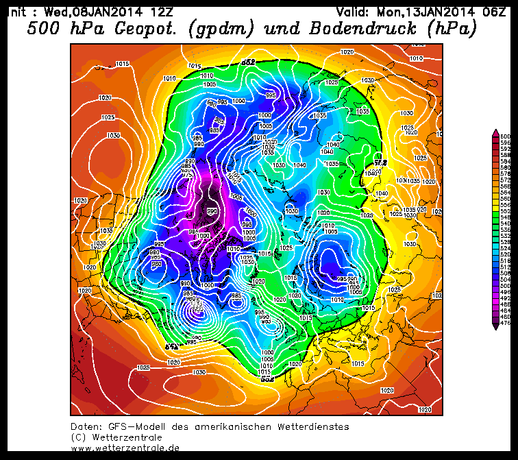
We have known about the cold air center with correspondingly low geopotential over Canada for a while now. It produces the disturbances that slide across the Atlantic towards us and then, fed by warm Mediterranean air, are pushed towards the Alps. With the passage of several fronts in recent days, temperatures in the east of the USA and Canada have fallen to record lows, while Europe and large parts of Russia on the other side of the planetary wave are experiencing warmer than average temperatures.

Outlook
Thursday (9.1.) will remain warm, with widespread sunshine in the mountains and high fog in some valleys. On Friday, the northern Alps will be slightly sugared for a change, at least where they are not rained on. Not much will come of it. Saturday looks comparatively calm again before it snows a little (= not much!) in the Eastern Alps on Sunday. For a few days now, a certain murmur has been going around the ski and/or weather-interested areas of the internet that maybe something will happen again sometime soon and winter might find its way back to us. The reason for this is a wedge that is slowly but surely building up in the area of the European Atlantic coast in the model calculations and is apparently planning to extend far to the north. This would thoroughly disrupt the eternal Atlantic weather drive and colder air from the north could reach us for the first time since the beginning of December. So we can really start to assume that it will get colder next week. As far as precipitation is concerned, there are favorable and less favorable variants. It's too early to say which one it will be, but there's no harm in hoping. After all, the always helpful ZAMG has analyzed 50 years of data and found that the somewhat bumpy farmer's rule Until Three Kings no winter, no one will follow is not particularly reliable.